SERVICES WE OFFER:
Cadastral Surveys
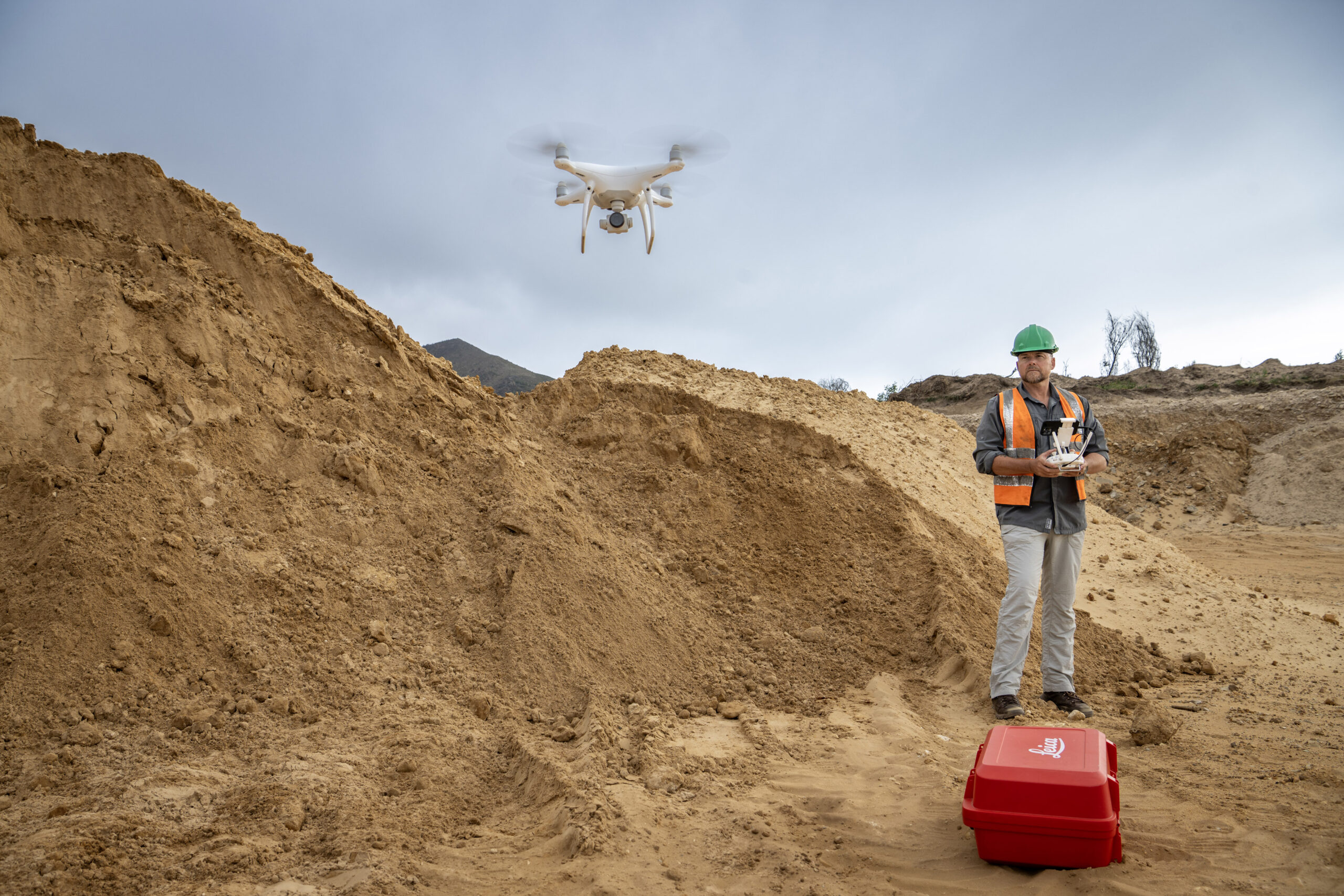
Drone Surveys
- Housing Developments
- Sectional Titles
- Erf and Farm Subdivisions
- High Water Mark Surveys
- Consolidations
- Subdivisions
- Lidar Scanning
- Orthophotor
- 3D BIM Modeling
Engineering Surveys
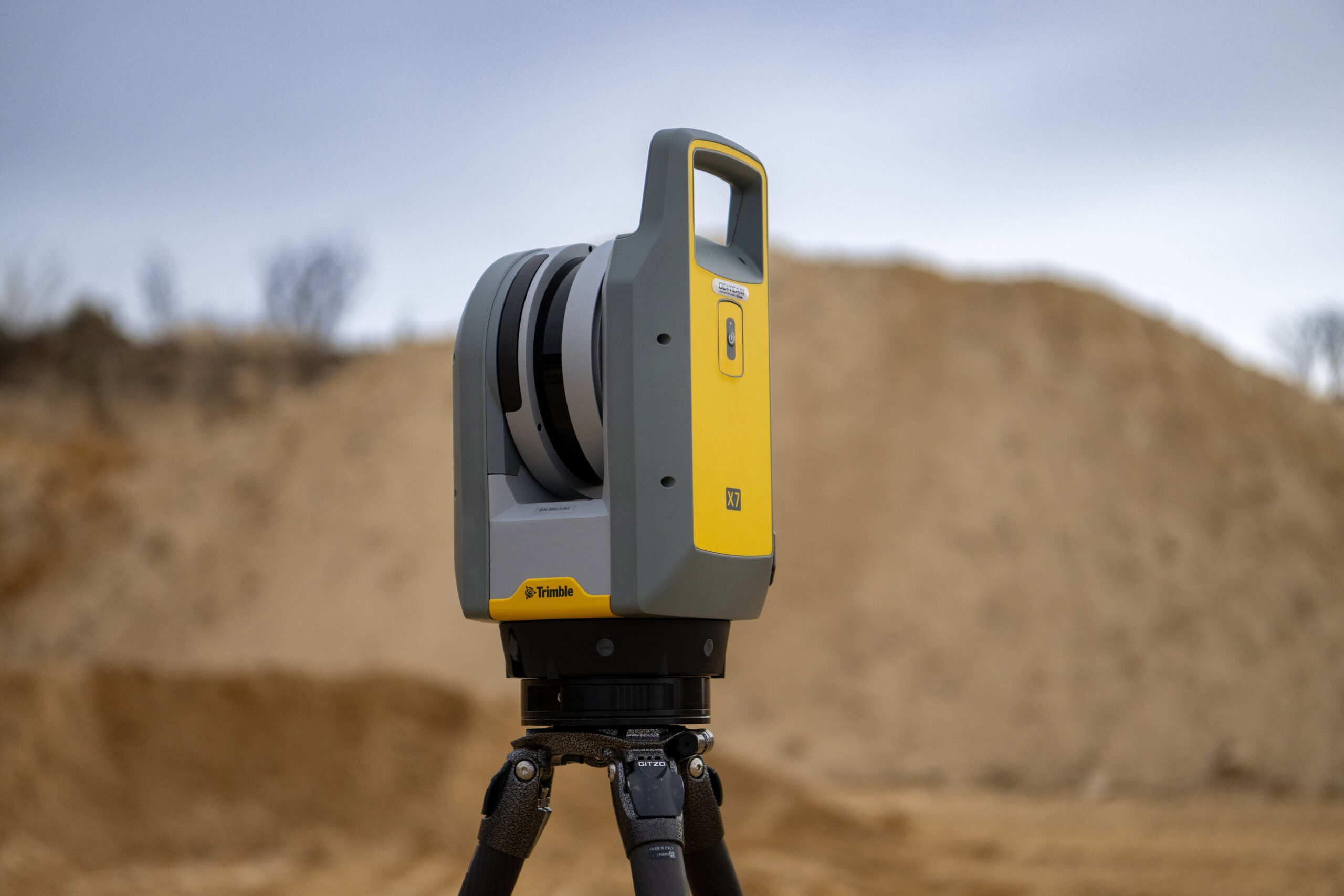
3D Laser Scanning
- Topographical Surveys
- Volume Control
- Cross Sections
- Flood line Surveys
- Building set out
- Photo control
- Revit Based 3D Modeling
- Scanning of Buildings and
Construction Sites
Development Consultants
- Your first stop should be with us for advice on the viability and procedures to be followed.